Baltic Geospatial Information Technology Conference

Who we are
The conference is organized by the representatives from each Baltic state – the Latvia’s GIS Association, the Estonian Geoinformatics Society, and the Lithuanian Cartographic Society in cooperation with our conference partners and supporters.
What we do
The Baltic Geospatial Information Technology Conference (BGITC) is a unique cooperation among Estonia, Latvia, and Lithuania in order to organise a regional industry event that fosters cross-border collaboration in the field of geospatial information technology (GIT). Apart from exchanging experiences to expand knowledge and innovation, as well as exploring market growth opportunities, the goal is to build a common view and vision for the development of GIT industry in the Baltic region.
Why attend
The BGITC is an event for anyone who is interested in geospatial information technologies – be it students, researchers from universities, representatives from corporations, government institutions and municipalities or entrepreneurs.
Throughout the day, you will have an opportunity to:
- tune into speakers – both local and international – at any of the several parallel sessions
- meet and exchange ideas with GIT advocates, professionals and enthusiasts
Attendance at the conference is free of charge.
Call for Speakers
We are inviting you to submit presentations for the upcoming Baltic Geospatial Information Technology Conference 2026.
Here are some ideas for possible topics:
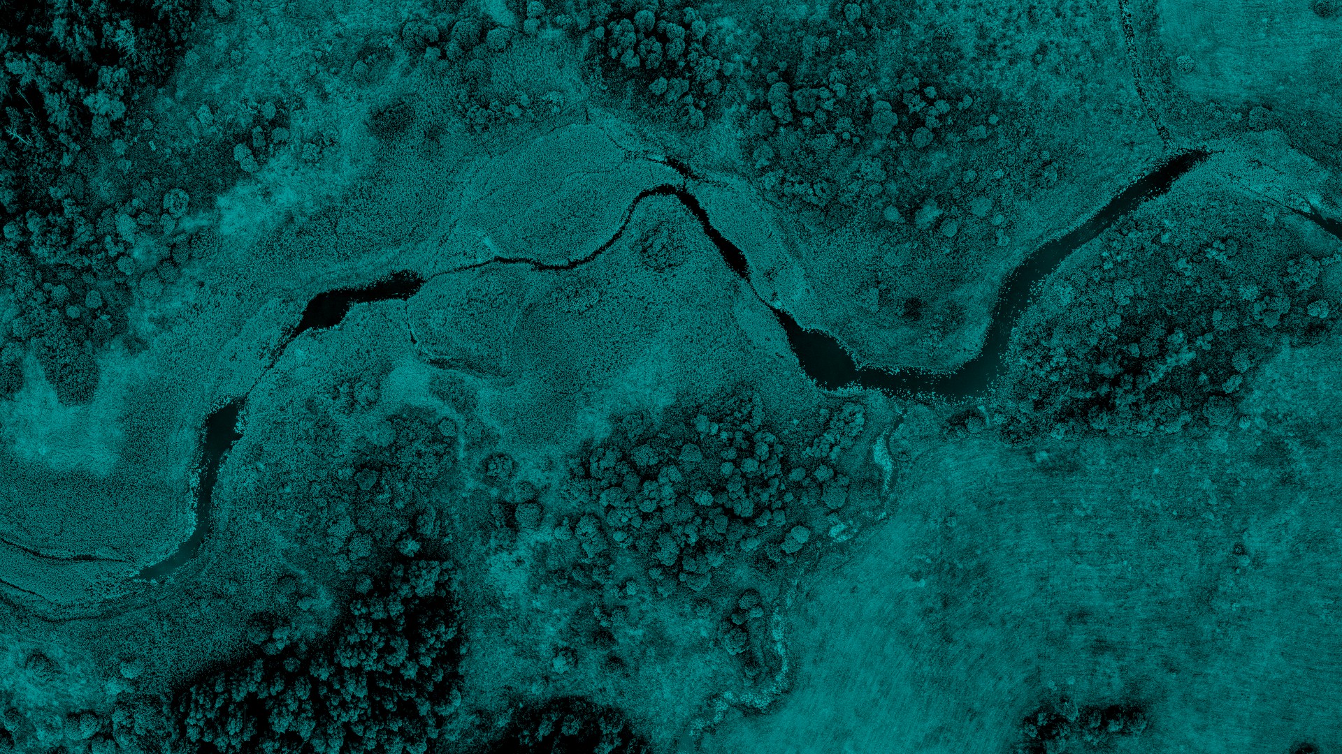
- New trends: GeoAI, AI-driven mapping and machine learning
- IoT, indoor mapping, drones, digital twins
- Data collection, data sharing, big data, data exploration platforms
- Analysis, processing and visualization of geospatial data
- Applied GIS: asset management, crisis/disaster response, smart cities, population mapping, climate change, marine monitoring
- Earth observation, sensors, remote sensing, laser-scanning, structure from motion
To apply for a presentation slot at the Baltic Geospatial Information Technology Conference 2026,
please complete the form.
Call for Partners
The Baltic Geospatial Information Technology Conference partners are exposed to a highly engaged international audience of policy makers, business representatives and industry professionals.
Partnership of the Baltic Geospatial Information Technology Conference gives you:
- Opportunity to engage in the geospatial information technology industry in the Baltics
- Marketing and brand exposure
- Networking opportunities
- Opportunity to make valuable contacts and increase sales
Audience
Around 500 participants are expected to attend from all over the Europe. It is the largest industry event in the region, representing geospatial developers, users, policy makers and industry organizations.
Audience profile:
- Specialists from governmental institutions and private companies looking for effective solutions to solve geospatial problems
- Developers and users of geospatial software
- Experts involved in data infrastructure design and implementation at national, regional or local level
- Decision makers and managers of geospatial projects looking for flexible and economically advantageous software solutions
- Organizations looking to connect with open source communities
- Delegates from international organizations and scientific communities
- Representatives of the global geospatial open source community